
We live on Barú, and the question we hear most often after "how long is the boat?" is a simple one: why is this an island at all? The short answer is a colonial canal. The longer answer runs through coral stone, runaway settlements and one of the most famous shipwrecks in the Caribbean, and it explains a good deal of what you see on the way to us.
Barú is an island because of a canal
Barú is a former peninsula. It was separated from the mainland by the Canal del Dique, the colonial waterway that links the Magdalena River to Cartagena Bay, meeting the bay at Pasacaballos.
The Spanish first dug the canal in 1582 to get around the shoals and sandbars of the Magdalena delta and connect Cartagena to the interior. It fell into disrepair quickly and was rebuilt in 1650. Today it runs 118 km. By the end of the 18th century it was passable only in high water, and by 1821 it was blocked entirely, which pushed trade away from Cartagena toward Santa Marta and, later, Barranquilla. It was improved again in 1923 and 1952.
What matters for Barú is that the cut held. The island stayed separated from the mainland for centuries, reachable only by water, until a road bridge near Pasacaballos reconnected it in 2014. That bridge is why you can now drive here. Most visitors still come by sea, and so do we: our boat makes the run from Cartagena in 30 minutes to an hour, depending on the water.
Before the Spanish: Bahaire
The area was known as Bahaire before colonial rule, and it was home to Indigenous groups of the Karib/Mocaná family. Very little of that period is visible on the island today, but the name is worth knowing if you read further on the region.
Coral stone and lime for Cartagena's walls
Part of Cartagena's walled city came from here. Under Spanish rule, enslaved workers were forced to quarry coralline stone on Barú and run lime kilns, and that material went into the city's defensive walls.
We'd suggest keeping this in mind on a day in the old city. When you walk the top of the walls, look closely at the blocks: the pale, pitted stone is coral, and some of it was cut on this island. It changes how the walls read. They're less a postcard and more a record of who did the work.
The palenques and the town of Barú
Some of Barú's communities trace their roots to palenques, the autonomous settlements founded by Africans who escaped slavery and hid in the island's mangroves. The modern town of Barú grew out of one of them.
Today roughly 20,000 people live across the island's three main settlements: Ararca, Barú and Santa Ana. Most of the island's economy runs on tourism, from work in hotels and houses to selling crafts to visitors. When our boat passes the villages, this is the history you're looking at: these are some of the oldest continuously settled places on this coast, not a backdrop to the beaches.
1708: the San José goes down off Barú
The Spanish treasure galleon San José sank off Barú in 1708, during the battle known in English as Wager's Action and in Spanish as the battle of Barú. For three centuries it was the wreck everyone wanted to find. In December 2015, the Associated Press reported that Colombia had located it, calling it the "holy grail" of shipwrecks.
There is nothing to visit; the wreck lies offshore and out of reach. It is still the single event that put Barú's name into history books outside Colombia.
Barú today, in numbers
The island is about 25 km long and, in places, less than 1 km wide. It reaches southwest from the southern end of Cartagena toward the Rosario Islands, and the reefs of Corales del Rosario National Park lie off its western side. Most of its beaches are privately held; Playa Blanca is the public beach, which is why it draws the day-trip crowds. Most of those day-trippers leave by mid-afternoon.
| Year | What happened |
|---|---|
| Before 1500s | Area known as Bahaire, home to Karib/Mocaná groups |
| 1582 | Spanish dig the Canal del Dique to link the Magdalena River and Cartagena |
| 1650 | Canal rebuilt after falling into disrepair |
| Colonial era | Coral stone and lime from Barú used in Cartagena's walls; palenques founded in the mangroves |
| 1708 | Galleon San José sinks off Barú during Wager's Action |
| 1821 | Canal del Dique completely blocked |
| 2014 | Road bridge near Pasacaballos reconnects the island |
| 2015 | Colombia announces the San José has been found |
Where we fit into it
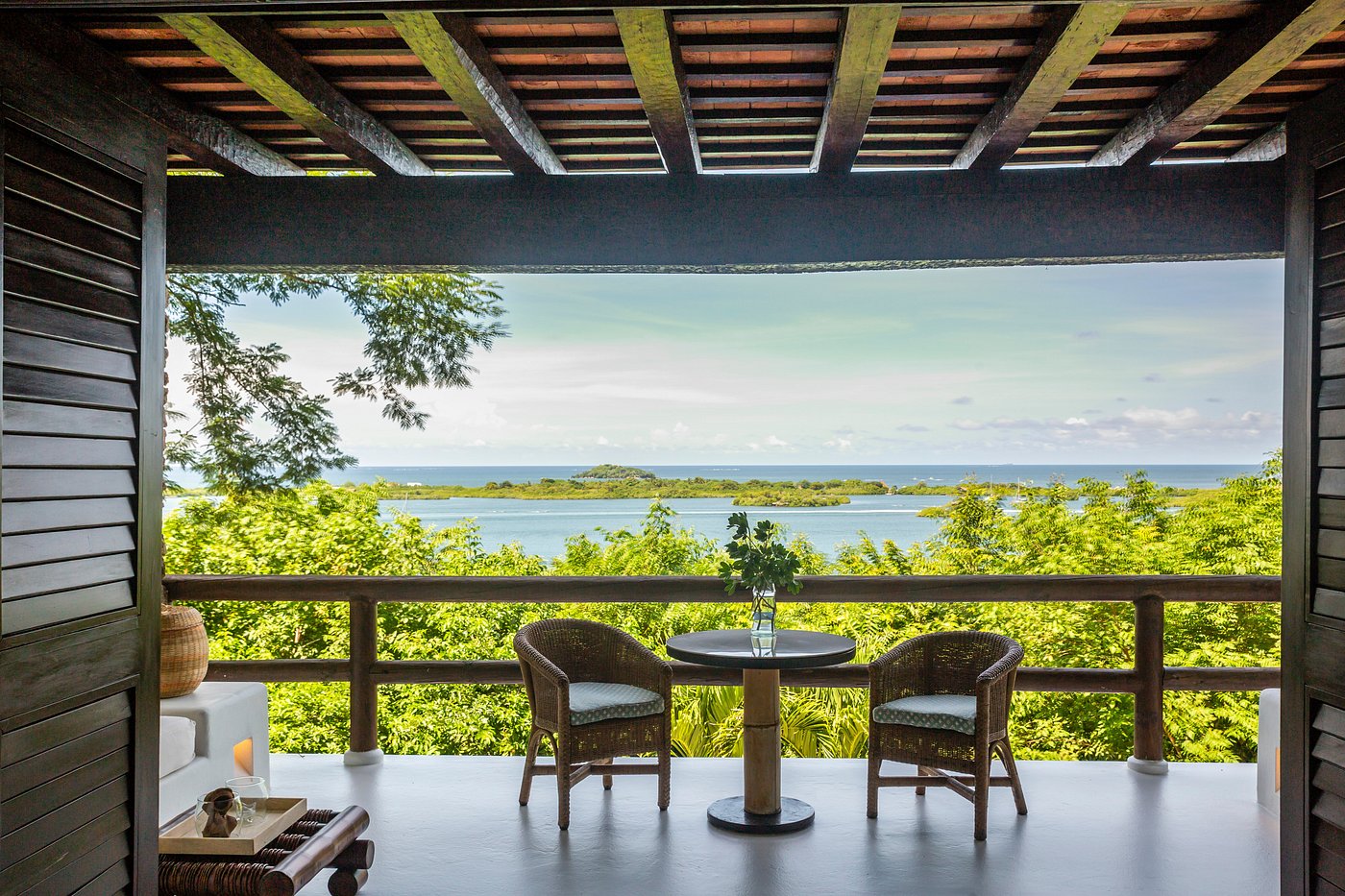
Our three houses sit on Bahía de Cholón, on the bay side of the island, looking over the Ciénaga de Cholón and the mangroves. They're built in guadua bamboo, and Villa Pinto was designed by Simón Vélez and Gustavo Pinto. We think it's the right way to build on an island whose story has always been about working with what the place provides, from coral stone to mangrove channels. Six rooms across three houses is a small footprint on a long history, and we'd rather it stayed that way.
If you'd like the practical side of reaching us, our page on getting from Cartagena to Barú covers the boat and the road. If you want to see the walls that Barú's stone helped build, our walled city page is the place to start.